
Drone Footage
Professional drone survey for inspections, progress reports, and site surveys. Giving you a new perspective on your outdoor spaces and projects.
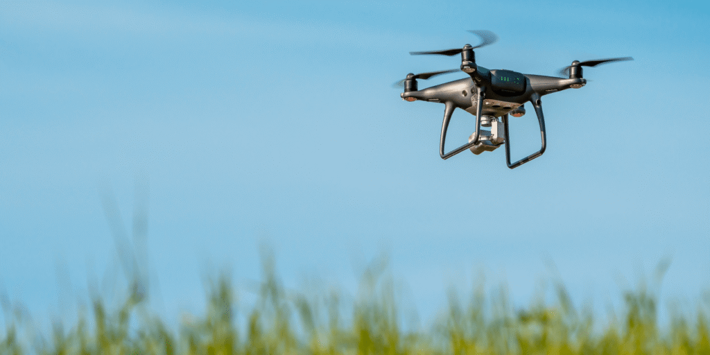
Professional Drone Survey & Footage
JTS offers drone photography and video to support tree surveys, site inspections, and project documentation. Our aerial footage provides a safe, detailed view of large or hard-to-reach areas—ideal for planning, monitoring, or showcasing your projects. We deliver clear, high-resolution images and videos, tailored to your specific requirements.
Tree Surveys
Drone-assisted inspections for accurate tree health and risk assessments—no ladders or climbing required.
Site Inspections
Aerial overviews to assess progress, spot issues, or plan landscaping and development work.
Marketing Footage
Striking images and videos to showcase your property, grounds, or completed projects online.